

Cyclone register 360
Using Cyclone REGISTER 360, Leica’s professional point cloud registration and processing software, we carefully align, validate, and refine raw scan data into a single, reliable dataset. This post provides an inside look at our backend workflow and the steps we take to ensure every point cloud is accurate, dependable, and ready for real-world use.
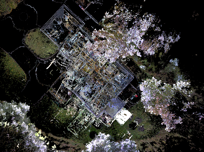
The images below show the raw data and the final output. Steps taken in this process are verifying the completeness of the scan, checking the order of scans and their associated data, and organizing the setups by area or level. We reduce environmental noise such as reflections, moving objects, vegetation (when required), and obstructions—producing a clean dataset that reflects real-world conditions. Complex environments like multi-level buildings, repetitive geometry, and long corridors require manual intervention to achieve correct registration.
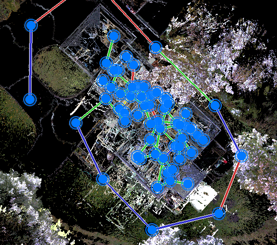
Each registration link is then quality-checked for overlap percentage, registration strength, cloud-to-cloud error, and target error to confirm it meets as-built tolerance requirements. Even minor misalignments can cause major downstream issues, which is why every link—and the full bundle—is rigorously reviewed before optimization.
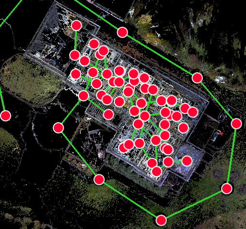
Once complete, the point cloud is optimized and delivered in formats ready for Revit, CAD, HxDR, and other point-cloud-compatible platforms.
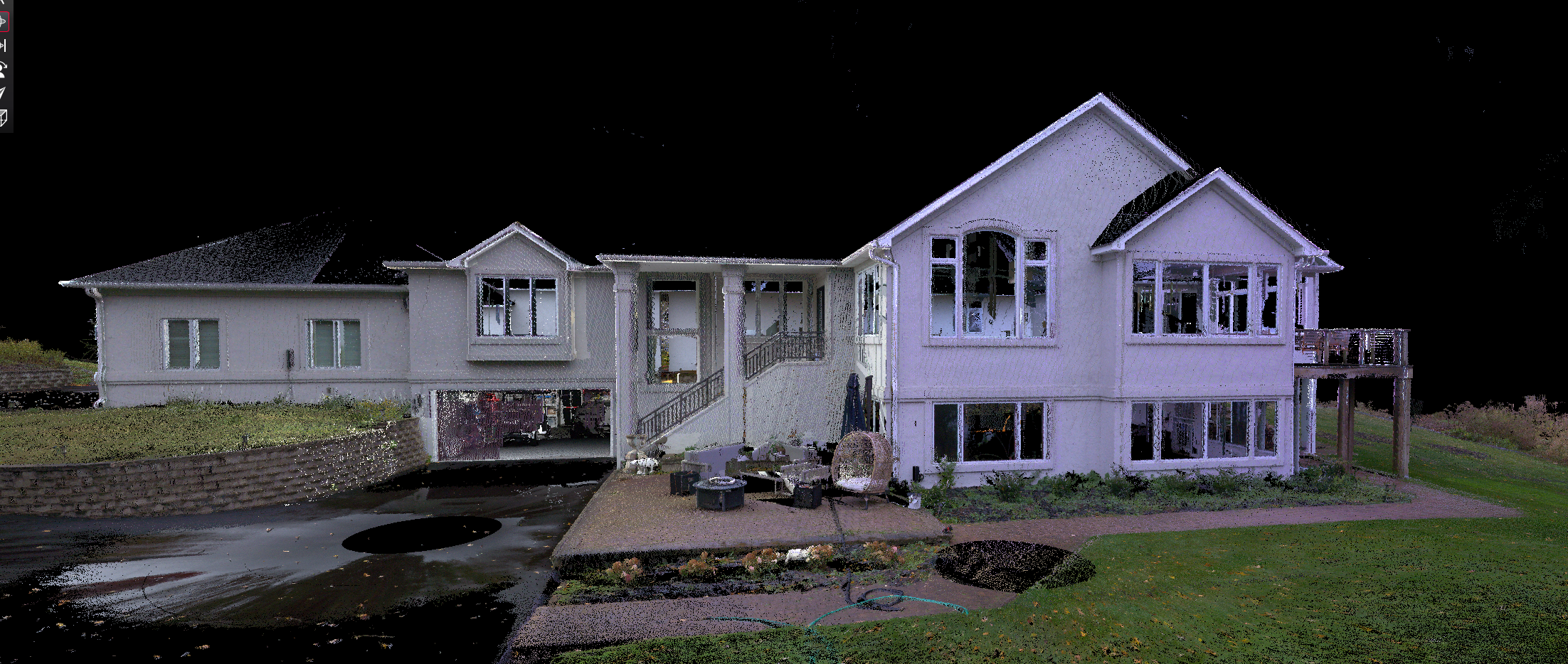
Final Exterior Shot
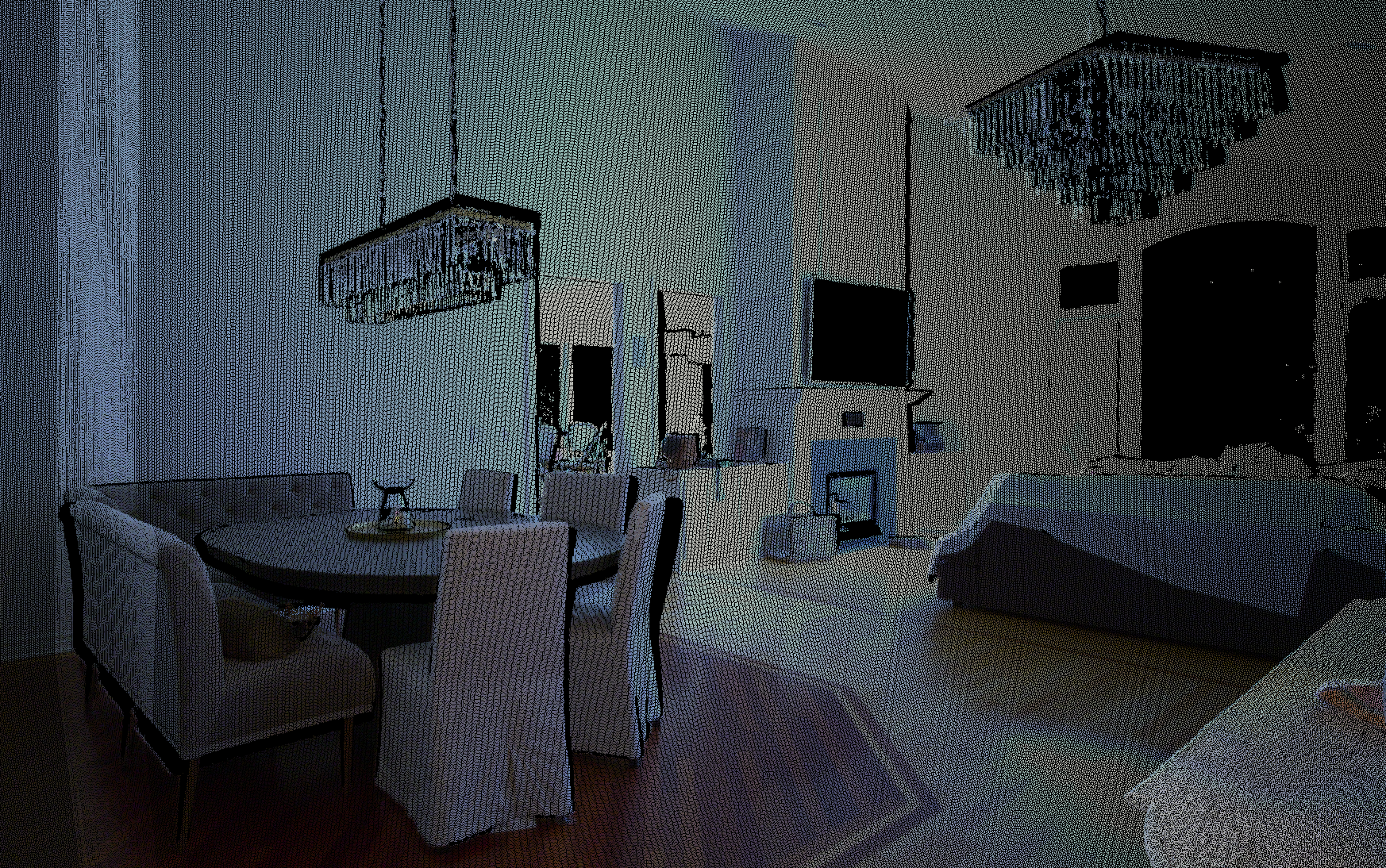
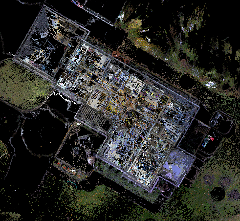
Final Interior Shot
The result: a precise, dependable point cloud you can trust for design, documentation, and construction—because accuracy isn’t optional.